Research Details
Research information
- Project Name: Open Street Map Data of Russia-Ukraine Conflict
- Project director: Prof. Richard Sowers
- Project date: May 2023 - Jul 2023
- Project URL: https://gitlab.engr.illinois.edu/r-sowers/ukraine-data
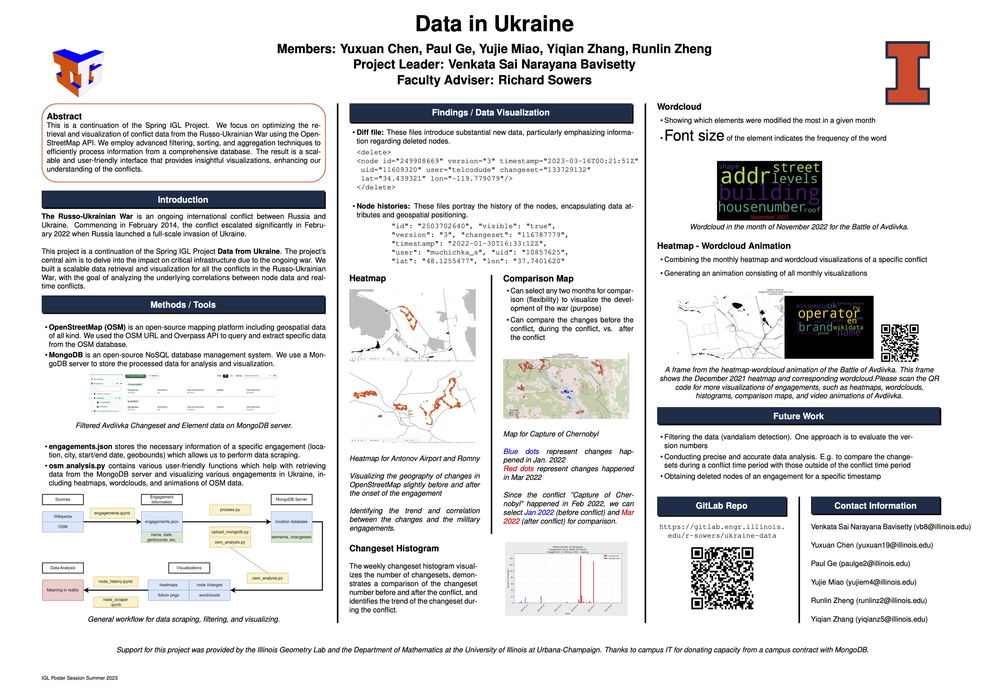
This research project focuses on analyzing and visualizing the conflict in Ukraine using a variety of data-driven approaches. It combines administrative data about Ukraine's regions with detailed visualizations of military engagements derived from OpenStreetMap (OSM) data. Key elements include heatmaps, wordcloud animations, and histograms showing changes in geography and OSM tags over time, particularly before, during, and after conflicts. Additionally, the project involves developing Python scripts for scraping, analyzing, and visualizing OSM data, with an emphasis on understanding the changes to geographic nodes. The project is supported by reference materials from various sources, including Wikipedia and the Institute for the Study of War, providing context and background for the conflict analysis.


